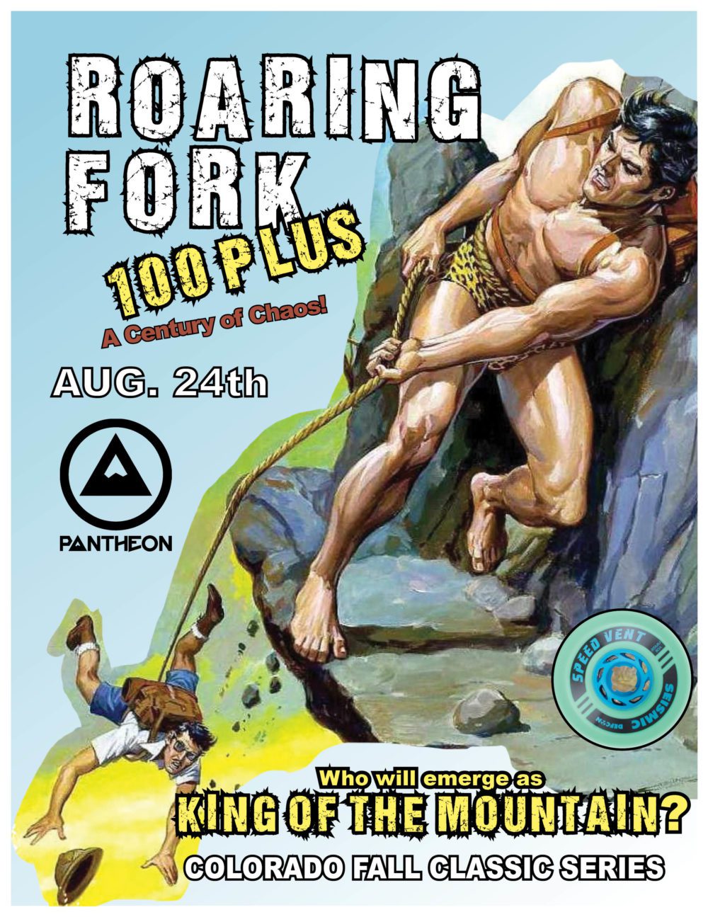
Roaring Fork 100 – August 24!
Our first even of the Colorado Distance Series is just around the corner on August 24th. Here’s what you need to know.
- It’s not quite 100 miles. We measured it at 94. The course is hard enough that you’re not going to be begging for that other 6. Trust us.
- Park at Grizzly Creek Trailhead. There’s a good bit of parking up there, and there shouldn’t be so much of us that we overwhelm the parking lot. This is, in essence, why the course is 94 miles and we aren’t going to lengthen it. Any further up the canyon, and it will mess up parking. Any further into Aspen and we won’t be able to control the turn-around. Here’s a link to your parking: https://goo.gl/maps/J8ob4KJx4BKsBQqB6
- 7am start time. This is to ensure that everyone makes it in before dark. I don’t think it would be appropriate to skate along the Colorado River bike path after dark, so let’s get up, get out, and make this happen.
- Remember, this group ride has about 2000 ft of elevation gain. You are coming out of Glenwood Canyon, and once you enter Glenwood Springs, you have about 42 miles of gradual uphill in front of you. It is a low enough grade that you won’t notice it much, but it will sneak up on you. Expect to be pretty spent at the turnaround and then enjoy gradual downhill all the way back to the city.
- There are TWO locations where directions may not be totally obvious. We will try to clear that up here:
- Entering Glenwood Springs, you will roll around a gate after a long gradual downslope coming out of Glenwood Canyon. Go straight on this road for about 50 meters and there will be a split. Left would take you down along the river. Right will bring you up toward the main roads. You are yielding right here. You will follow the road straight for maybe a half mile until you see a traffic circle. As soon as you see the circle, you want to be looking left. You are looking for a tunnel. Cross the road and get on the bike path and go through the tunnel. Yield right out of the tunnel and follow the path across an intersection, under a highway bridge, and then across another intersection, which is a highway ramp crossing and SHOULD have very little traffic. Cars would be looking to either turn left here (this is what to watch out for) to get onto the highway from the same direction you are coming from, or they’re just getting off the highway and they’ll be turning left to get onto the main road (safe to cross even though the crossing traffic technically has a green…it would be quite an anomaly for a car to be getting off the highway only to get back onto the highway). Cross the road and hop back onto the path and then you’ll be looking for a wood bridge on the left to cross over the Colorado River. Cross over the river and you are now on your way to Aspen–straight ahead. My expectation is for riders to be fairly together at this part, as it is the beginning of the ride about 5 miles in. If you are breaking away here, you are probably going too hard.
- Entering Carbondale, about 20-25 miles into the course, the first thing you’ll notice is crossing a road and seeing a bus stop to the right. Cross over the road and turn left here and go up toward the next road crossing. This is a small highway crossing. You’ll need to cross over here, ideally at the crosswalk, and then turn right on the bike path. Go down along the road for another 75 meters or so and you’ll see an arched gate on the left. Peel left here through the gate and you’re back on your main path going toward Aspen.
- Bring plenty of water. Personally, I’ll have a 2.5 Liter bladder on me, and I plan on using most of that, filling up once in Aspen, and that should carry me through the event. You may want more, but likely that should be enough. Bring some calories, too. I’ll have Tailwind mixed into my bladder, for sure, and a few bars on me.
- We will have aid stations on the north side of Carbondale and at the turnaround in Aspen. This will include water, at least, and maybe some other goodies. We are working out those details, but I would plan to self-supply your calories so that you are ready.
That’s about it! Check out the video here for some trail visuals. The end of the video has us coming back through Glenwood Springs and handling the most confusing part of the course. Keep in mind that this is BACKWARDS from the start of the ride, as we are headed back into Glenwood Canyon from Glenwood Springs here.
Thanks, and looking forward to suffering with you!
Pantheon Jeff